Bwindi Impenetrable Forest Park
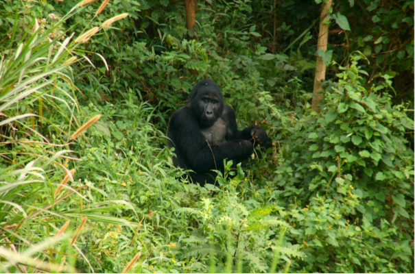
Bwindi Impenetrable Forest - The Gorilla Tracking Park
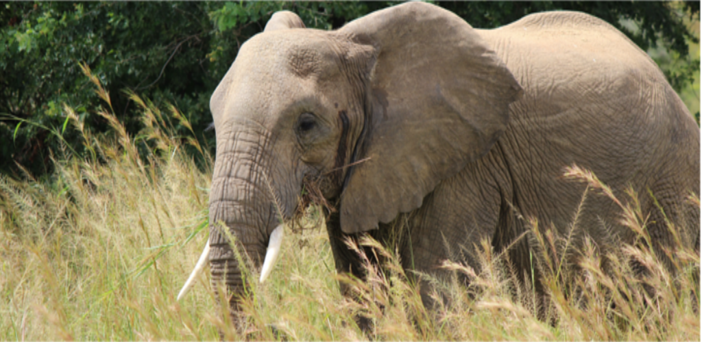
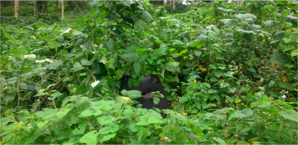
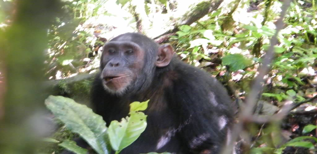
Bwindi Impenetrable Forest is 330 km square; 1160-2607m ASL; includes lowland forest with rare Afromontane vegetation on the peaks; forest is very old at around 25,000 years (this was one of the few “refugia” that survived the last ice age; home to 320 mountain gorillas in 15 troops; mountain gorillas are tracked from Buhoma and Ruhija in the north and Nkuringo and Rushaga in the south, (350 birds including 23 Albertine Rift endemics; 310 butterfly species; 120 mammals including 11 primates; 200 tree species; around 30 forest elephants in the south; Bwindi area has the densest human population in Uganda with around 350 people/square km.
Bwindi Seasons
The annual average temperature is 7-20 degrees C. The area is usually cold in the early morning and at night; the coolest time of year is generally June and July. Bwindi has a short rain from March to May and heavy rains in September to November. June to August is usually driest but expect soft rain at any time of year and bring wet weather gear.
General notes - Gorilla Tracking in Bwindi Forest
The two main areas in Africa where the Mountain Gorillas are found are Bwindi and Virungas. The biggest constraints to gorilla tracking are gorilla permit availability and suitable accommodation.
In Uganda gorilla permit quotas are part released 2 years in advance then the balance released a year in advance. Anybody wishing to travel between June and October (regular holiday season) should definitely try booking a year ahead
June to August are the driest months, theoretically considered the easiest months for gorilla trekking; March to May the wettest, therefore usually the hardest treks.
The “Virungas” are about 450 km square and is an ecologically homogenous area covering three contiguous National Parks in Uganda, Rwanda and DRC called the Virunga Trinational Conservation Area. This combined area has about 386 individuals including 5 habituated groups in Rwanda and 4 habituated groups in DRC.
The other parks are:
Mgahinga National Park in Uganda (sometimes the gorillas here cross to Rwanda)
Parc National des Volcans (PNV) in Rwanda
Parc des Virunga in DRC
Where to track Gorillas in Bwindi:
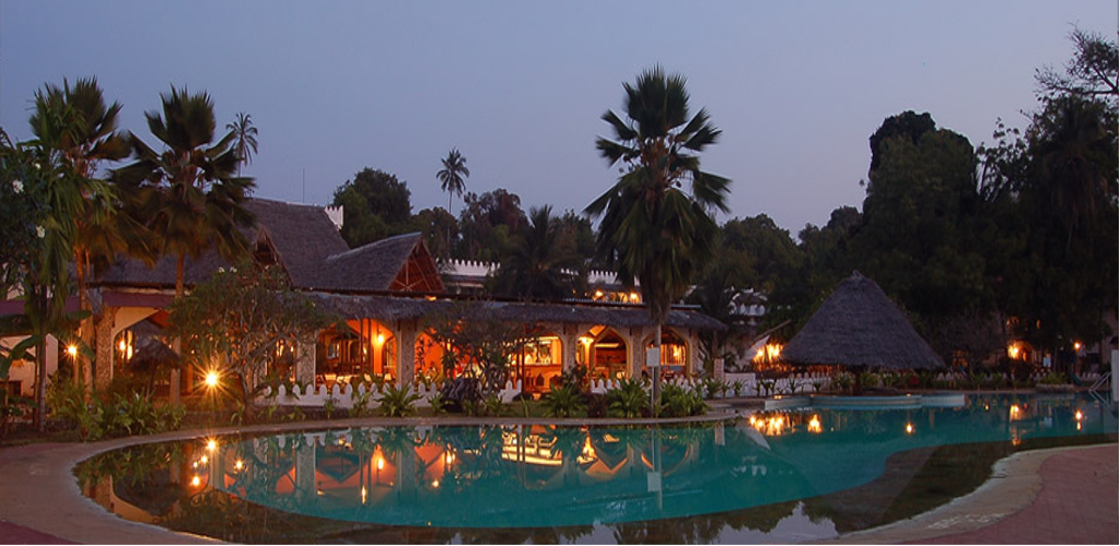
Buhoma is located to the northwest of the park and faces the dark, hilly forests of Bwindi. Three gorilla groups can be tracked from here, and there are also community-run village walks for exploring the culture and lifestyle of the local Bakiga and Batwa tribes. Bird watching is also a major activity with great opportunities to see various Albertine Rift endemics such as the Short-tailed Warbler. Other activities include mountain biking and nature walks to waterfalls and parts of the forest. There are also numerous accommodations to suit all budgets and many local craft stalls.
A six-hour bamboo trail leads to Rwamunyoni Peak; at 2,607m, it is the highest point in the park and notable for good birding. Also of interest to birders is the three-hour trail descending to Mubwindi swamp along which one could find the endemic and localized African Green Broadbill.
Nyundo
This community, a short drive north of Buhoma, sits on the DR Congo border and offers wonderful guided hikes along the hill crests and rivers to discover waterfalls, glorious views, and the traditional lifestyle and folklore of the Kigezi people.
Walking Trails
Bwindi has 5 different walking trails – good for birds (190 recorded in the Buhoma area), looking for other forest dwellers (monkeys to butterflies) and simply enjoying the scenery. All except the Muyanga River Trail require a UWA guide costing around $15 for a day’s trail. Walks last anything from 30 minutes to 8 hours.
Muyunga River Trail – follows the Bizenga River in the valley directly below Buhoma. No guide required, very easy going. Good for birding in the early morning or late afternoon.
Waterfall Trail – a 3 hour walk through pristine rainforest as it ascends the Munyaga River to the waterfalls. Good for orchids, ferns, trees and birds.
Rushura Hill Trail – a 3 hour hill trail with good views across the western plains to Lake Edward and on a clear day views of the Rwenzoris in the north.
Muzabajiro Loop – a 3 hour trail that climbs up Rukubira Hill offering good views over the Bwindi Forest across the Western Rift Valley to the Virunga volcanoes.
Ivi River Walk – an 8 hour trail leading to the Ivi River near Nkuringo on the southern edge of the forest – especially good for birds.
Buhoma Community Trail
This is a 3 hour trail with the possibility of visiting the local school, the Batwa community and learning about village life. A local banana beer brewery and traditional healer are good value.

